Radnor Forest Adventure — On Film
Warren Wood, Water-Break-Its-Neck and the climb to the summit. Turn the sound up. 🎵

📍 Radnor Forest, Mid Wales · Warren Wood & Water-Break-Its-Neck
Warren Wood and the Famous Waterfall
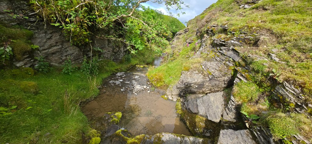
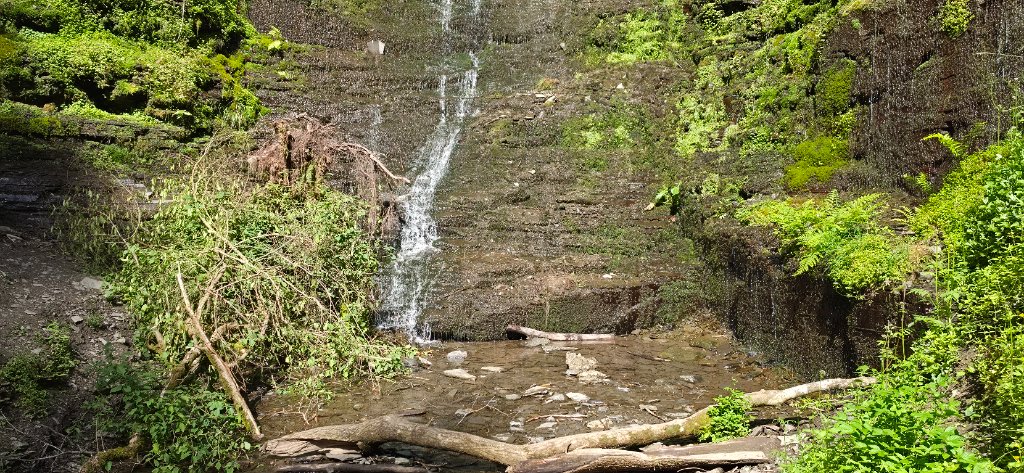
Warren Wood is far more than simply a starting point. Located within the wider Radnor Forest area, it has attracted visitors for over 200 years thanks to Water-Break-Its-Neck. Despite its dramatic name, the waterfall varies wildly depending on rainfall — a spectacular cascade after wet weather, or little more than a trickle during dry spells.
The woodland owes much of its character to Victorian landowners who transformed open moorland into picturesque forest landscape, planting a variety of species that have now matured into some of the largest trees in Radnorshire. Visitors can still find enormous conifers, giant monkey puzzle trees, and other impressive specimens throughout.
The name "Warren Wood" originates from the rabbit warrens that once occupied the area — an important food source for local communities long before it became a tourist destination.
Climbing Above the Forest
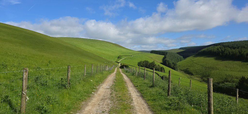
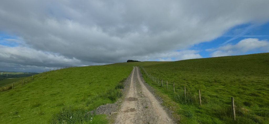
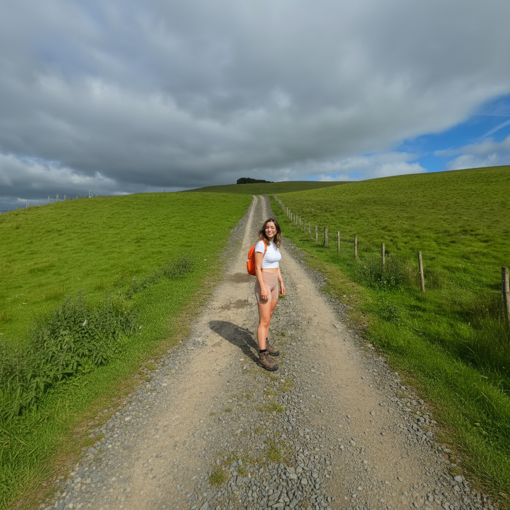
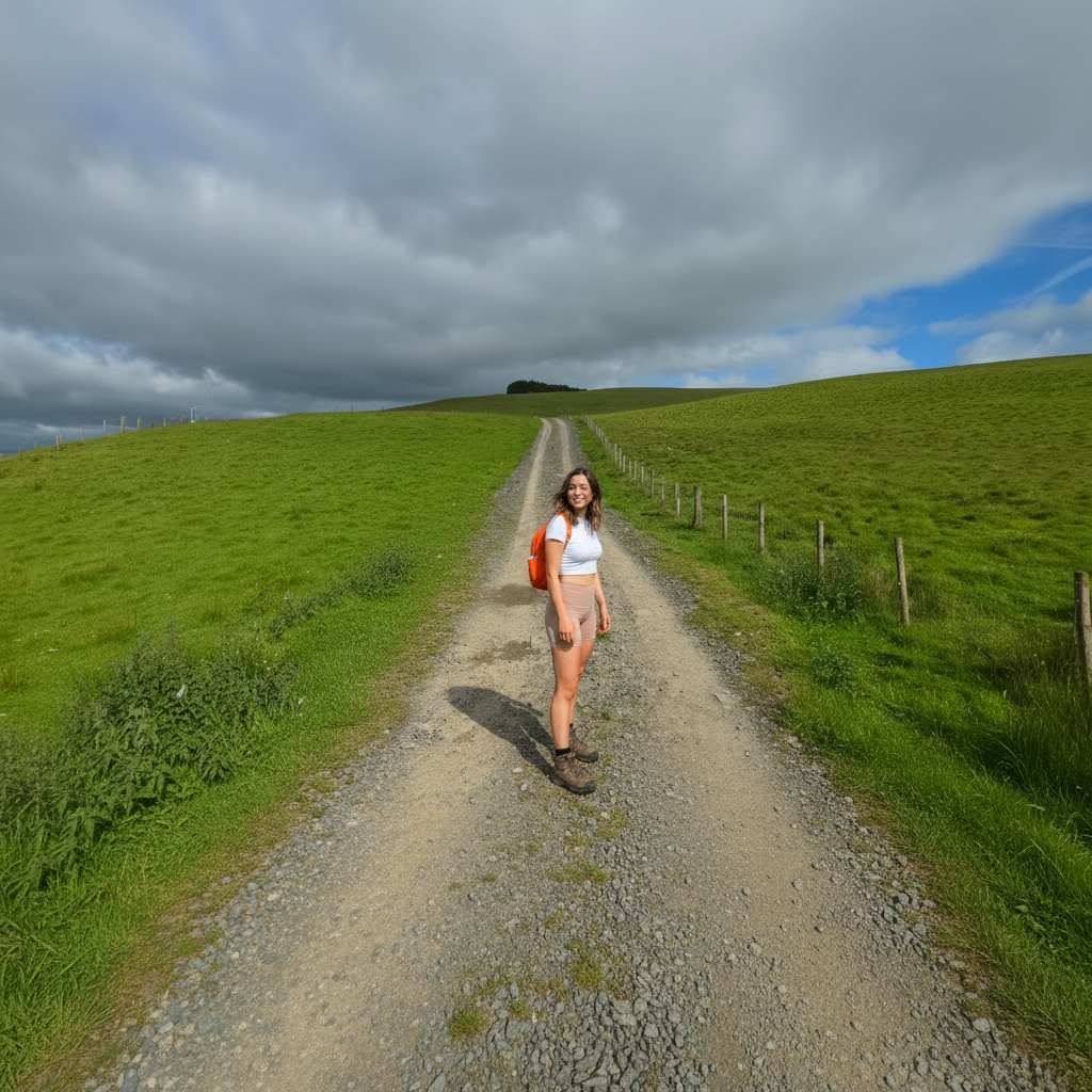
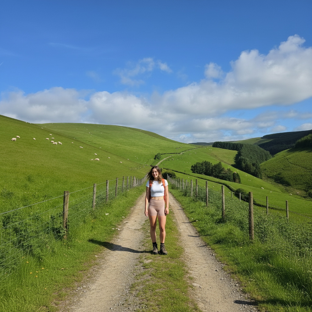
Leaving the woodland, the route climbs steadily onto increasingly exposed terrain along a well-used forestry byway. The higher you go, the more apparent it becomes why wind turbines have been installed across parts of the surrounding landscape — even on a calm day in the valley, the uplands were being swept by strong winds that dramatically dropped the temperature.
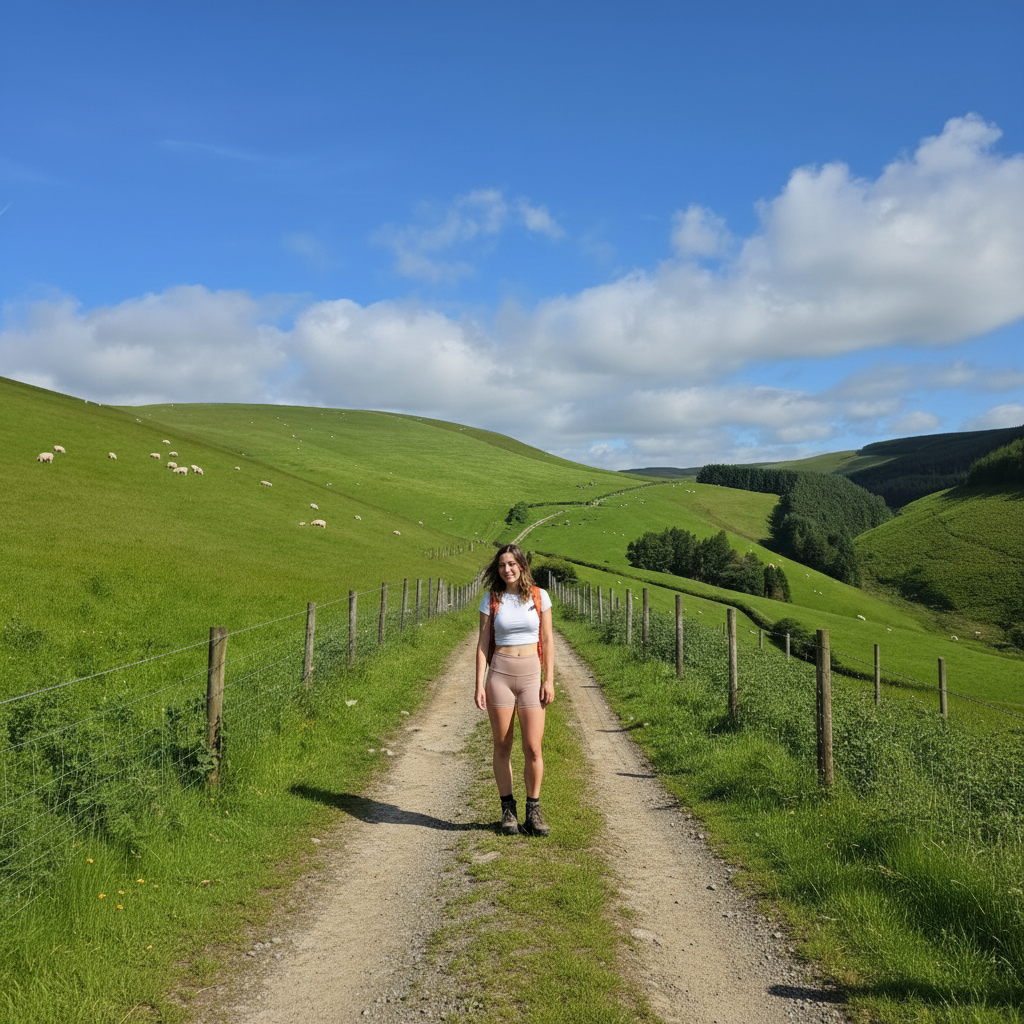
The byway itself bears the scars of weather and heavy use. Deep puddles, eroded tracks and exposed stone require careful navigation. Add several thousand sheep into the equation — and a very excitable Trigger weaving between them — and it certainly keeps things entertaining.
The Summit — 545 Metres
At approximately 545 metres above sea level, the high point of the route delivers a magnificent panoramic viewpoint. Standing on the exposed hillside, surrounded by open skies and endless countryside in every direction, it's one of those moments that reminds you exactly why you came.
This area forms part of the wider Radnor Forest — historically a medieval hunting forest used by Norman kings. Today it consists of moorland, hill farms, wooded valleys and upland ridges, with some of the highest ground in historic Radnorshire reaching over 650 metres.
Military History and Modern Wind Power
Returning to Water-Break-Its-Neck
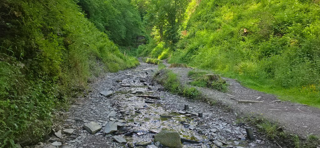
The descent back to Warren Wood returned through the same exposed byway before dropping into the sheltered embrace of the forest. Despite weeks of rainfall before the hike, Water-Break-Its-Neck was reduced to a modest trickle — the waterfall is renowned for being spectacular after sustained rainfall but can quickly diminish during drier periods.
With no sheep in sight, Trigger thoroughly enjoyed charging through the stream bed and splashing through every available puddle — ears flapping, tail going like a helicopter. Classic Trigger.
Among the Giants of Warren Wood
One of the unexpected highlights came during the final descent through Warren Wood. After hours on exposed hillsides, stepping back beneath the towering Victorian-era trees felt like entering a completely different world — peaceful, sheltered, and wonderfully calm after the relentless upland wind.
Practical Information
📶 Signal: Very limited above the treeline — download your GPX before arrival
🌡️ Conditions: Can be 10°C+ colder on the summit than in the valley — always bring layers
🐕 Dogs: Friendly throughout, but on leads near livestock
🌐 More info: Visit Powys · Natural Resources Wales
📷 Photos from the Walk