The Route
Starting from the Elan Valley Visitor Centre near Rhayader, this compact circular route packs in an impressive amount for just 3.2 miles. You'll walk out to the foot of the mighty Caban Coch Dam, cross the bridge below it, then climb steeply to the dam top for the first of several outstanding viewpoints before following the reservoir edge through woodland to the ruined Nant y Gro dam. The return leg drops back down through the valley via quiet lanes and footpaths.
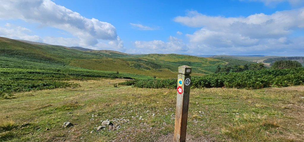
The route is well waymarked throughout and easily navigable. That said, don't be fooled by the modest distance — there are two notable climbs: 40 metres of steep steps up from the bridge below Caban Coch Dam, and a further 140 metres of ascent over 0.8km up through the bracken and alongside a conifer plantation to reach the hilltop. Take your time on these sections and you'll be rewarded with views that justify every step.
Stage by Stage
Elan Valley Visitor Centre — Start (SN 92797 64640)
Free parking, café and toilets at the trailhead. Head towards Caban Coch Dam on the well-surfaced path.
Caban Coch Dam — Bridge Crossing
Just before the dam, turn left through the wooden gate and cross the bridge below the dam wall. In high water conditions the overflow can be spectacular — and rather wet if you linger! The steep stepped path to the top begins here.
Dam Top — First Viewpoint
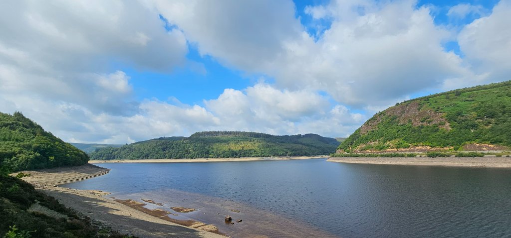
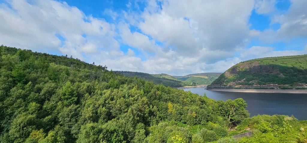
The climb rewards immediately. Drink in the views across the full expanse of the reservoir and up the valley. On a clear day the moorland stretches seemingly endlessly to the horizon.
Woodland Path & Nant y Gro Dam Ruins
Follow the rocky reservoir-edge path then climb the bank steps into the woodland. The ruins of the Nant y Gro dam appear to the right — scene of the WWII Dambusters experiments. Keep an eye out for the remains of Ty'n-y-Pant farmhouse nearby.
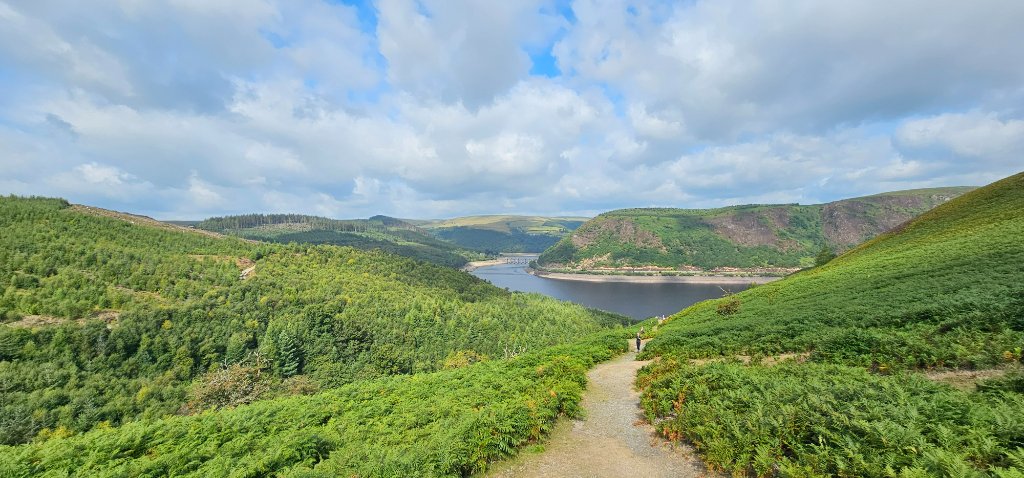
Hilltop Panorama — Best Views on the Route
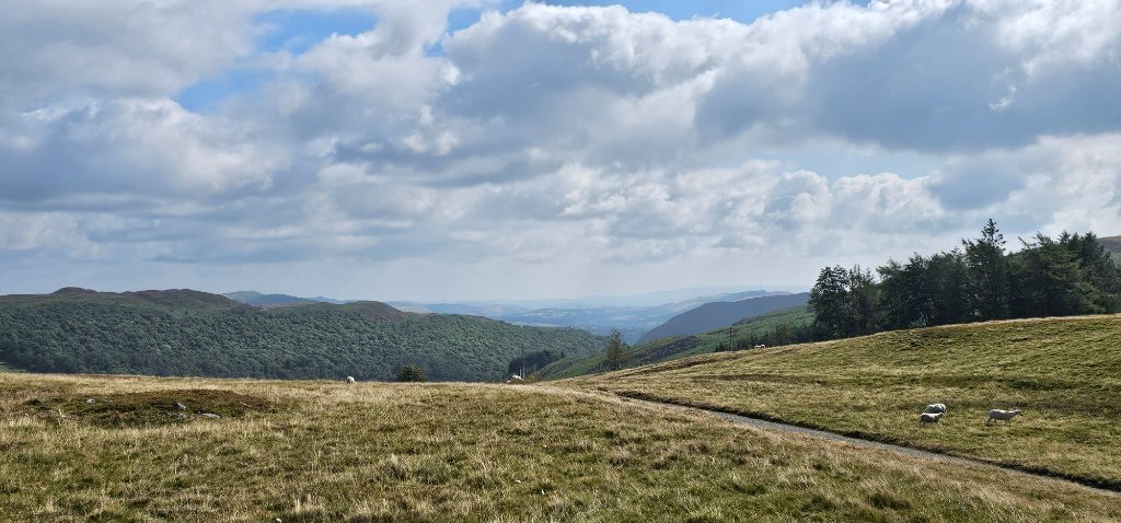
After the steep conifer plantation climb, the path levels out on the hilltop. Stop and turn northwest for the defining view of the whole route: Caban Coch Reservoir stretching back to the Garreg Ddu viaduct, Nant Gwyllt church, Henfron Farm and the moorland beyond. The cairns of Drygarn Fawr are visible behind you on the horizon.
Estate Boundary & Return
Concrete posts mark the estate boundary. Drop back down via the quiet lane, waymarked footpaths and two footbridges to return to the Visitor Centre.
Garmin Activity Stats
Full activity data: Garmin Connect Activity #20011538873
The Nant y Gro Dam — A Dambusters Story
The ruined dam you pass midway through this route is no ordinary relic. The Nant y Gro dam was deliberately destroyed in 1942 as part of the secret experiments led by Barnes Wallis in developing what would become the most famous bomb in RAF history.
On the night of 16–17 May 1943, No. 617 Squadron RAF — the famous Dambusters — flew low-level raids on the Möhne and Edersee dams in the Ruhr Valley, Germany. The bouncing bomb worked. Both dams were breached, causing catastrophic flooding. Hydroelectric power stations, factories and mines were destroyed across the Ruhr. The operation came at a heavy cost: 53 of 133 aircrew were killed, and 3 were captured.
The ruins you walk past today are all that remain of the dam that helped make it possible.
Standing at the ruined dam wall, with the quiet Elan Valley moorland stretching out around you, it takes a moment to fully grasp the significance of what happened here. It's one of those genuinely unexpected historical discoveries that makes a short local walk feel like something far more meaningful.
Practical Notes
- Start point: Elan Valley Visitor Centre (SN 92797 64640) — free parking, café and toilets on site.
- Map: OS Explorer 200, starting from SN927646.
- Footwear: Trail shoes are fine in dry conditions; waterproof boots recommended after rain — the bridge area below the dam can be wet when water is flowing over.
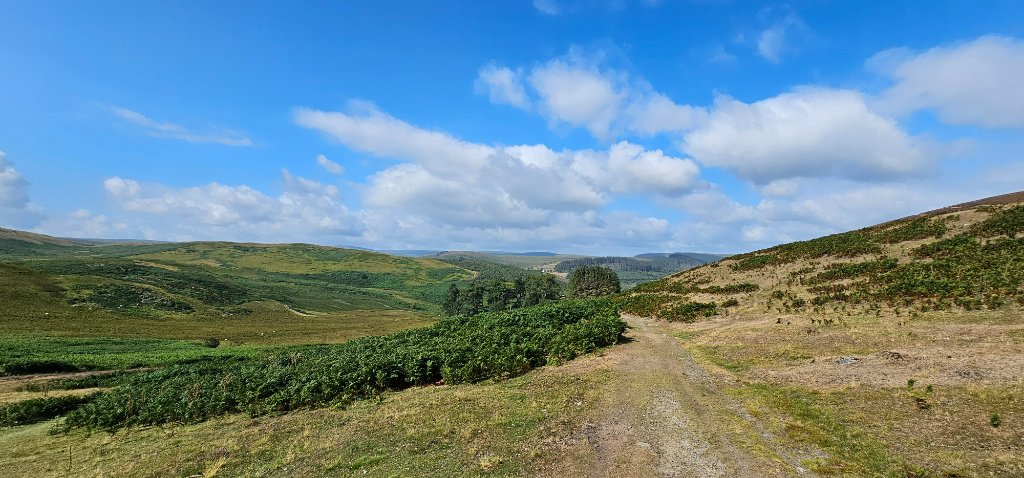
- Vegetation: In late spring and summer the bracken and undergrowth grows rapidly — some sections of path can become partially obscured. Follow the waymarkers carefully.
- Sheep: Lots of them. Keep dogs under close control through the grazing sections.
- Steep sections: Two significant climbs — 40m of steps immediately after the bridge, and 140m over 0.8km up to the hilltop. Both are manageable but take your time.
Why I Keep Coming Back
This is one of those routes that punches well above its weight. At just 3.2 miles it's an easy choice when time is short or the weather is uncertain, but the combination of dramatic dam scenery, genuine WWII history, big hilltop views and good dog-friendly paths makes it a genuinely satisfying outing every time. It's now been completed six times — and it still delivers.
If you're visiting the Elan Valley and only have a couple of hours, this is the route to do. The Visitor Centre café makes a perfect reward at the end. For a longer day, consider combining it with the Long Elan Route — or if you want the full Elan Valley experience, the Penglaneinon Loop to Claerwen awaits.
Open daily. Free parking. Café serving hot food and drinks. Toilets and baby facilities. Walking information and maps available. Located at the southern end of the Elan Valley, signposted off the B4518 from Rhayader.
elanvalley.org.uk
📷 Quick Elan Route — In Photos