Quick Facts
🏔 Mountain Range: Mont Blanc Massif
❄️ Meaning: "Sea of Ice"
📏 Length: Approximately 7 km (4.3 miles)
📐 Area: Around 32 km²
⬇️ Maximum Ice Thickness: Roughly 200 metres
🏔 Highest Source: Around 4,000 metres, beneath the peaks surrounding Mont Blanc
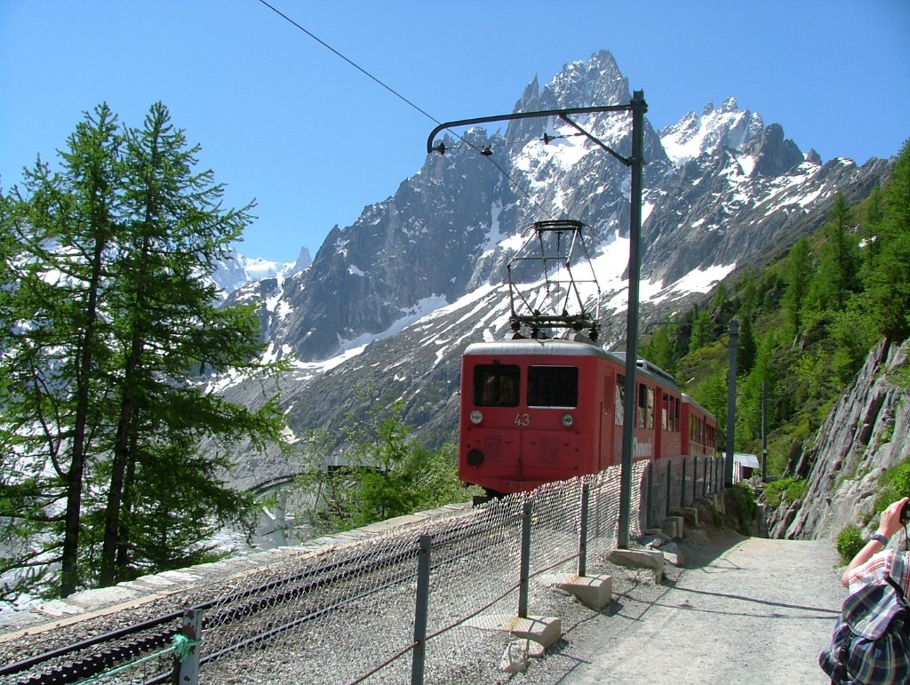
🚂 Best Access: Historic Montenvers cog railway from Chamonix — or hike the 870m ascent on foot
Why is it Famous?
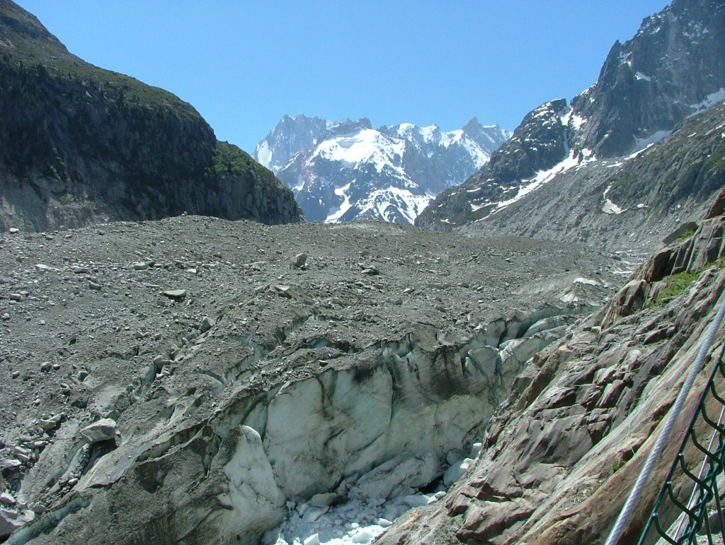
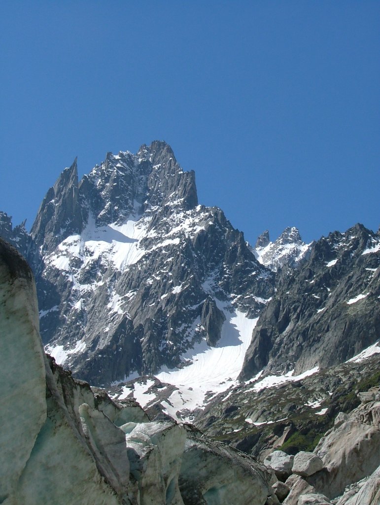
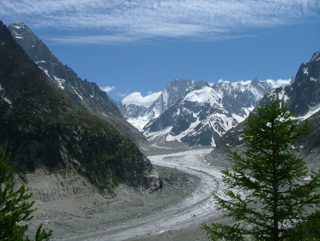
Mer de Glace has attracted visitors since the 1700s and played a huge role in the birth of alpinism. It remains France's largest glacier — a vast, slow-moving river of ancient ice carved between the granite walls of the Mont Blanc Massif. The views from Montenvers across the glacier to the soaring Grandes Jorasses and Dent du Géant are among the most dramatic in all of Europe.
The glacier flows at a rate of roughly 90 metres per year, creaking and groaning as millions of tonnes of ice inch their way downhill. Standing on its edge, you can see the deep crevasses, blue ice formations and moraine debris that make it feel like another world entirely — ancient, powerful and utterly humbling.
The Climate Story
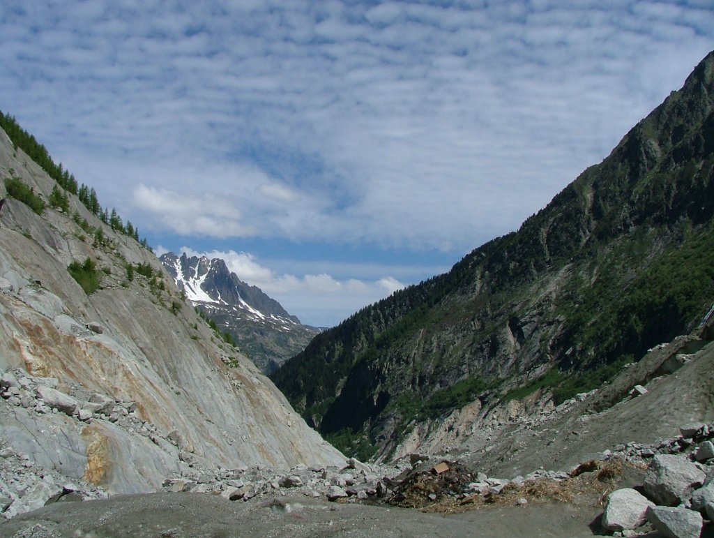
The Mer de Glace is one of the most powerful visual records of climate change anywhere in Europe. Painted lines on the rocky walls above the glacier mark where the ice surface stood in previous decades — and the story they tell is stark. The glacier has retreated by over 3 kilometres since 1820 and lost more than 150 metres in thickness.
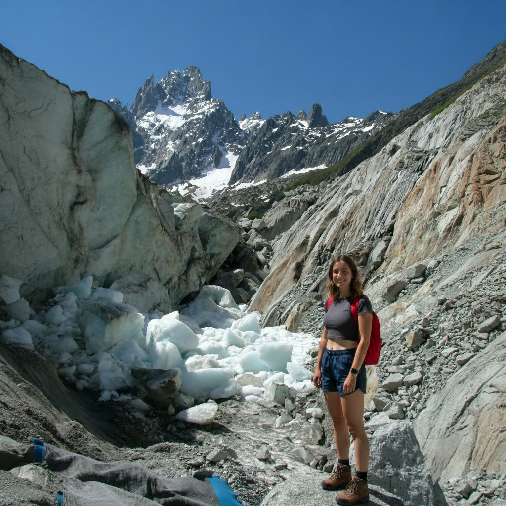
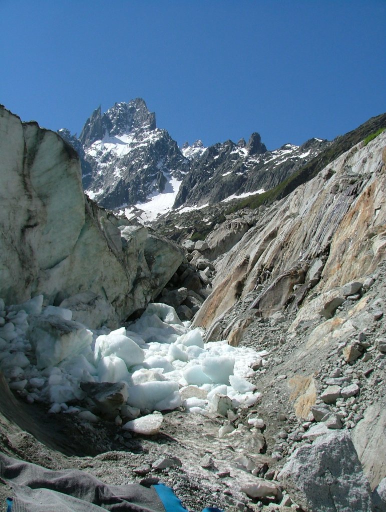
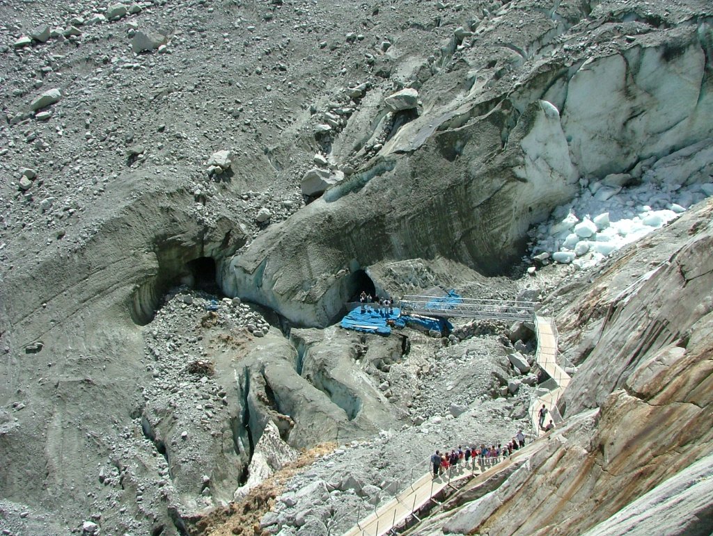
The blue insulating sheets visible in your photographs — draped across sections of the glacier — are literally a last-ditch attempt to slow the melting. The irony is not lost on anyone: we are covering a 7km glacier with blankets to try and save it. It's one of the most viscerally powerful images of the climate crisis you'll encounter on any hike in Europe.
Watch: Hiking with Sophie — Mer de Glace
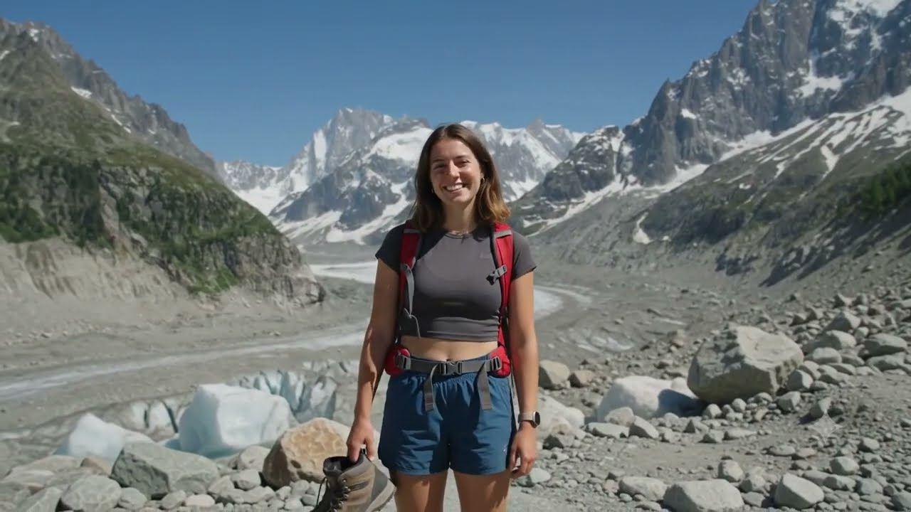
Hiking to the Mer de Glace — The Route from Chamonix
The classic hike from Chamonix town to the Montenvers viewpoint above the glacier is one of the most rewarding mountain walks in the Alps. It's a steady ascent through pine forest with spectacular views opening up as you climb, finishing at one of the most dramatic viewpoints in Europe.
The Trail — Step by Step
- Chamonix town centre (1,035m) — Start from the Les Planards ski area on the eastern edge of town. Follow signs for Montenvers / Mer de Glace.
- Forest path ascent — The trail climbs steeply through beautiful pine and larch forest. You'll cross under the Montenvers railway arches twice. The path is well-signed throughout.
- Rochers des Mottets refuge (~1,600m) — Roughly halfway up, this refuge is an ideal rest stop with drinks, snacks and breathtaking views across the valley to Brévent and Flégère. Allow 1.5–2 hours to reach here.
- Final ascent to Montenvers (1,913m) — From the refuge the trail becomes rockier with a couple of fixed ladder sections. This section requires reasonable surefootedness — not suitable for very young children or those with vertigo.
- Montenvers viewpoint — You've arrived. The panorama across the glacier to the Grandes Jorasses and the sea of ice stretching away before you is genuinely jaw-dropping. The Hotel du Montenvers café terrace is the perfect place to celebrate.
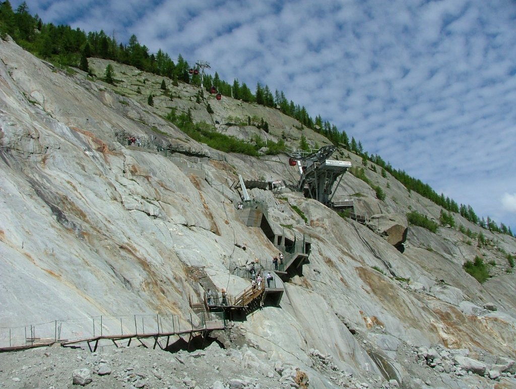
- Descent to the glacier — A series of steps (currently over 400 and increasing each year as the glacier retreats) takes you down to the glacier surface. The Grotte de Glace (ice cave) is carved into the glacier itself and is well worth the small entry fee.
The Ice Cave — Grotte de Glace
Carved each year directly into the glacier itself, the Grotte de Glace is an extraordinary experience. Tunnels of deep blue ice, sculpted caverns and ice sculptures make for a genuinely otherworldly visit. Entry is via a small fee at the glacier access point below Montenvers. The cave is re-carved each season as the glacier moves and changes — no two years are the same.
The photographs in our gallery showing the blue insulating sheets, the cave entrance and the visitors queuing along the wooden walkway are from the early 2000s — and already the glacier has retreated dramatically since then. These images have become a powerful time-stamp of a landscape in rapid transition.
Getting There
🥾 On Foot — The trailhead starts at Les Planards ski area, a 15-minute walk from Chamonix centre. Follow the clearly marked Montenvers trail. The ascent takes 2.5–3.5 hours depending on fitness.
🅿️ Parking — Large car parks available at Les Planards and in Chamonix centre. Summer traffic can be heavy — arrive early or use the valley bus service.
🌡 Best Season — June to September for hiking. The glacier is accessible year-round via the train, though ice cave access varies. July and August offer the longest days but the most crowds.
What to Pack
- Sturdy hiking boots with ankle support — essential for the rocky upper section and glacier steps
- Layers — temperature drops significantly at Montenvers even on hot valley days
- Sunscreen and sunglasses — the reflected light off ice and granite is intense
- Plenty of water — there's no reliable water source on the trail until the refuge
- Microspikes or crampons if you plan to venture onto the glacier surface
- Camera — this is one of the most photogenic locations in the Alps, full stop
Why Visit Now
Beyond the pure spectacle, the Mer de Glace offers something rare in outdoor adventures: genuine emotional weight. This is not just a beautiful place — it's a place that is changing before your eyes, in real time. The marked lines on the valley walls showing where the glacier stood in 1820, 1900, 1950, 1980 and today are more impactful than any climate documentary.
Visiting now, while the ice cave still exists and the glacier still flows, feels important. In a few decades, much of what makes this place extraordinary may no longer be accessible. It belongs on every serious hiker's list — not just as a tick, but as a moment of reckoning with the landscape we're living in.
Photo Gallery — Mer de Glace, Chamonix